
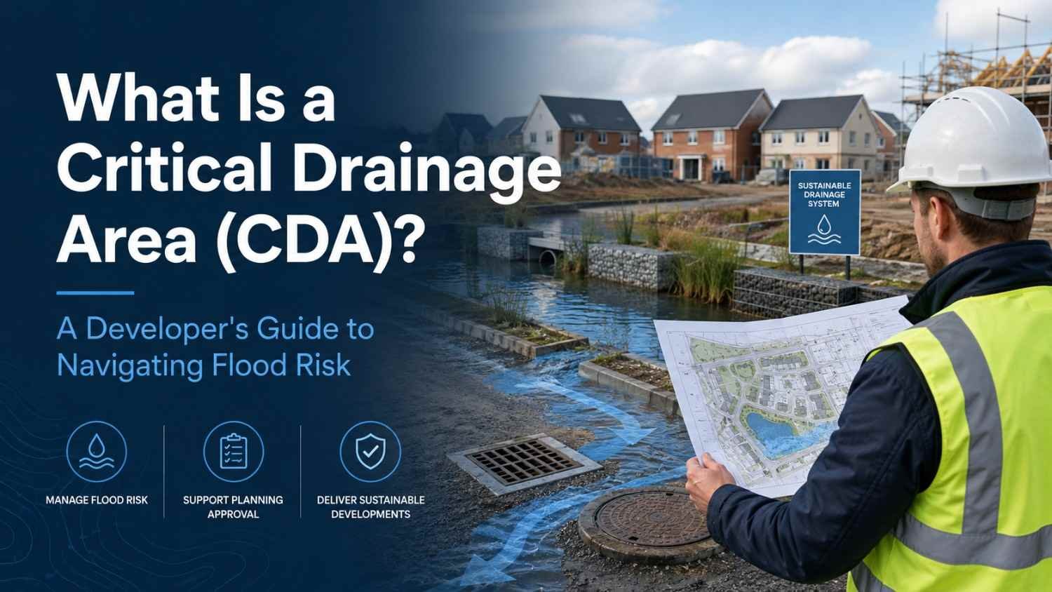
What Is a Critical Drainage Area (CDA)? A Developer’s Guide to Navigating Flood Risk
What Is a Critical Drainage Area (CDA)? A Developer’s Guide to Navigating Flood Risk
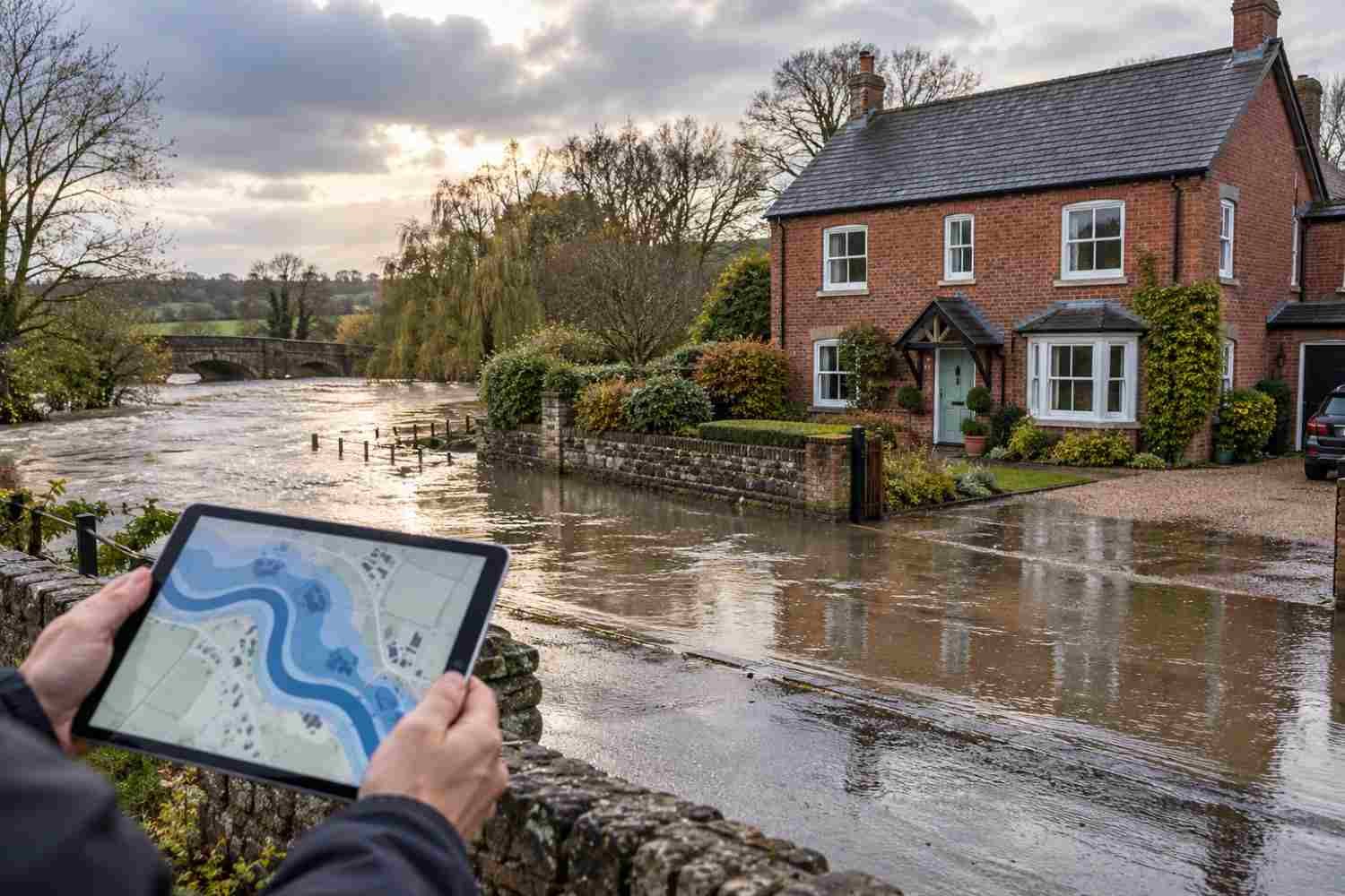
Managing surface water is one of the most critical aspects of modern development. When rainwater accumulates in the wrong places, it leads to localized flooding, structural damage, and severe environmental issues. While standard flood maps outline risks from rivers and seas, some of the most challenging flood risks come from surface water runoff and overloaded local drainage networks.
To protect communities and infrastructure, Local Planning Authorities (LPAs) and Strategic Flood Risk Assessments (SFRAs) identify highly sensitive areas known as Critical Drainage Areas (CDAs). If you are a developer, architect, or landowner planning a project, understanding what a CDA is and how it impacts your planning process is essential to getting your project approved and keeping it safe.
Critical Drainage Area (CDA)
A Critical Drainage Area (CDA) is a specific location that is particularly sensitive to an increase in the rate and/or volume of surface water runoff from new developments.
Typically, CDAs are designated due to:
- Known local flooding problems associated with surface water or sewer surcharges.
- Sewer capacity constraints, where older drainage networks (such as those across the Greater Manchester area) are already operating at or near full capacity.
- Urban creep, such as paving over gardens or windfall developments, which increases impermeable surfaces and puts additional pressure on the drainage network over time.
- Because of these sensitivities, SFRAs designate Critical Drainage Areas as high flood risk areas, regardless of their official fluvial or tidal flood zone designation.
When Do You Need a Flood Risk Assessment (FRA) in a CDA?
In normal circumstances, a site-specific Flood Risk Assessment (FRA) is only mandatory in Flood Zone 1 (low fluvial/coastal risk) if the site exceeds 1 hectare. However, inside a Critical Drainage Area, the rules change.
According to national standing advice and SFRA guidelines, a detailed, site-specific FRA is advised for all developments over 0.5 hectares within a CDA, even if the site lies entirely within Flood Zone 1.
The purpose of this lower threshold is to ensure that even medium-sized developments do not worsen existing local drainage problems or place undue pressure on sensitive local catchments.
What Must a CDA Flood Risk Assessment Achieve?
If your development falls within a CDA, your site-specific FRA must be comprehensive and detail-oriented. The assessment should:
- Demonstrate that the proposed development is not at risk of flooding from existing drainage systems or potential overland flow routes.
- Demonstrate that the development will not adversely affect existing flooding conditions elsewhere by incorporating appropriate, robust mitigation measures.
- Define and address the specific constraints that will govern the design of the drainage system and the layout of the development site.
Recommended Discharge Rates & Runoff Standards
To prevent developments from exacerbating flood risks downstream, strict standards govern allowable discharge rates inside Critical Drainage Areas. Planners and drainage authorities recommend the following runoff reduction targets:
- Greenfield Sites: Developments must aim to deliver Greenfield runoff rates up to a 1-in-100-year storm event, taking climate change allowances into account.
- Brownfield Sites: Developments must achieve a minimum reduction in surface water runoff rates of 50% compared to existing rates, with an ultimate goal of reducing runoff down to Greenfield rates up to a 1-in-100-year storm event (incorporating climate change margins).
Overcoming Site Constraints with SuDS and Mitigation
To meet these strict runoff standards, developers must design effective flow management schemes [61]. However, the effectiveness of these schemes within a single site is heavily limited by natural and built constraints, including:
- Topography and slope of the land.
- Geology and soil permeability, which dictate whether water can naturally infiltrate into the ground.
- Development density and the space available for drainage assets.
- Existing drainage networks both on-site and in the surrounding area.
- Adoption and long-term maintenance issues for the drainage infrastructure.
Key Mitigation Strategies:
- Sustainable Drainage Systems (SuDS): Incorporating SuDS such as attenuation tanks, soakaways, or retention basins temporarily stores runoff and releases it at a controlled, gradual rate.
- Opening Up Flow Paths: Where possible, designers should seek opportunities to open up land where surface water is expected to naturally flow or pool, integrating green infrastructure into the site layout.
- Early Planning: The design, construction, and ongoing maintenance of your drainage scheme must be carefully defined at an early stage. This requires a comprehensive understanding of the local catchment’s hydrological processes and existing capacities.
Conclusion
Developing within a Critical Drainage Area requires a proactive, collaborative approach. From pre-application discussions with the Local Planning Authority to detailed hydraulic modelling, addressing drainage constraints early is key to securing planning consent. By adopting robust Sustainable Drainage Systems (SuDS) and strictly managing runoff rates, your project can not only protect itself from flooding but also contribute to a safer, more sustainable community.
Are you planning a development project? Contact our specialist drainage and civil engineering consultancy team at Courous to discuss how we can help you navigate site-specific Flood Risk Assessments, drainage strategies, and SuDS designs.
Table of Contents
OTHER POST
Recent Articles