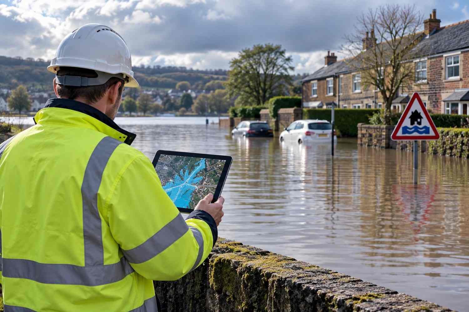
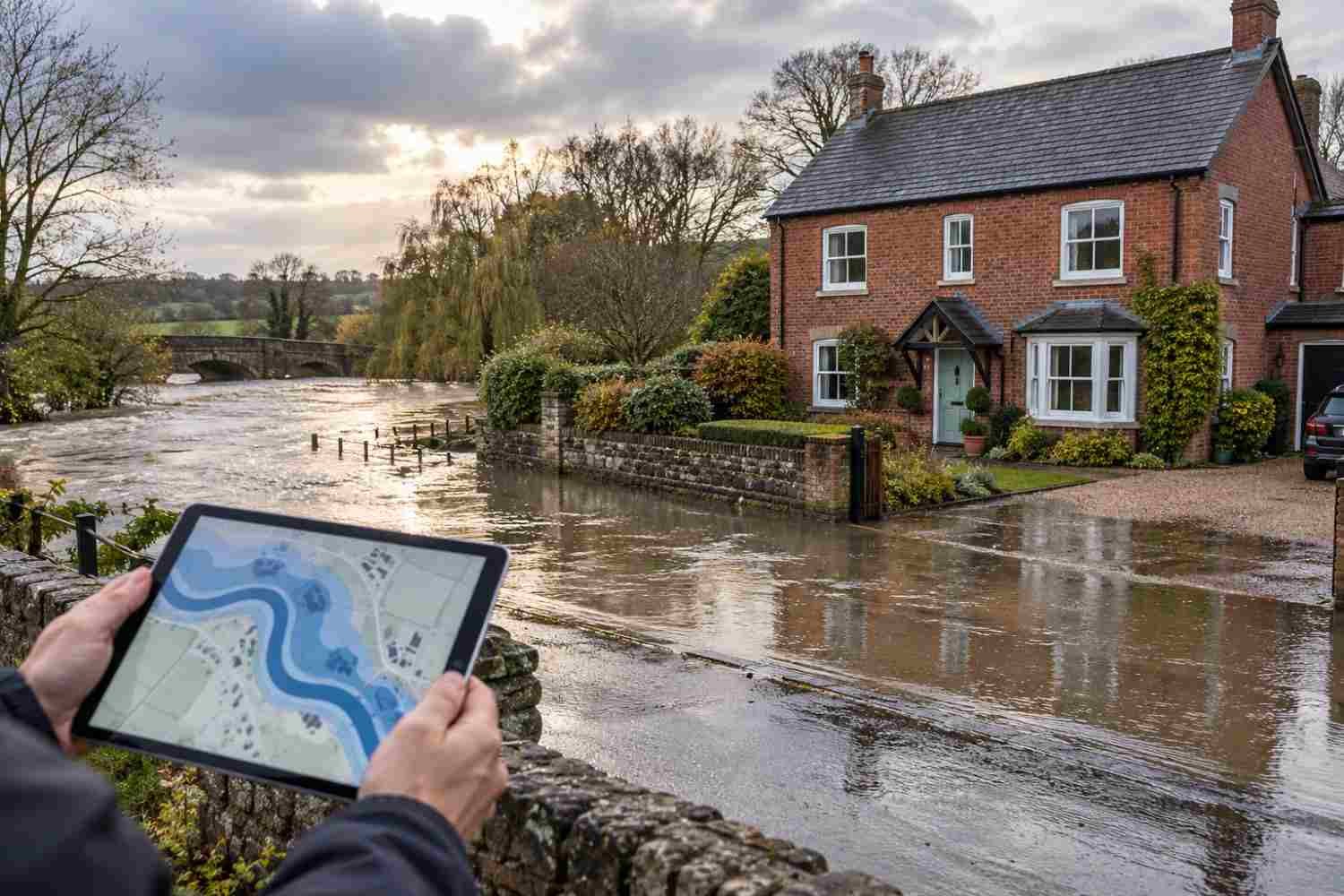
What is a Flood Risk Map and How Does It Work?
What is a Flood Risk Map and How Does It Work?
Introduction
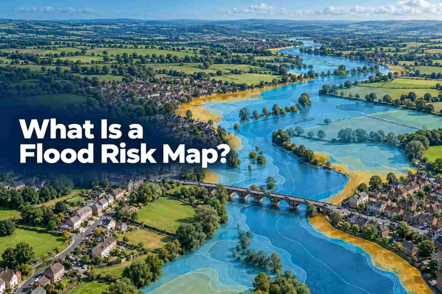
Floods can affect homes, businesses and development areas, and a flood risk map can help people understand the type of flood and the level of damage it can cause in a specific area by showing the zones that are potentially at risk.
Understanding and considering flood risk is important for planning permission for any construction project, especially in areas with more climate challenges. This blog will help you understand what is included in a flood risk map and how you can check it for your property.
What is a Flood Risk Map?
A visual tool which is used to show the likelihood of flooding in a specific geographic area, along with its potential depth and the damage it can cause to the area. A flood risk map is produced by evaluating historical flooding data and its potential sources, including:
- Rivers and the sea
- Rising groundwater
- Heavy rainfall on the ground surface
- Overwhelmed sewers and drainage systems
- Reservoirs, canals and lakes
- Other artificial sources
What Information Does a Flood Risk Map Show?
A flood risk map shows information about where flooding can occur, what type of flooding can affect the area and how the level of risk varies across different locations. Depending on the map and the organisation that produces it, it may include the following information:
- Sources or type of flooding
- Flood zones or risk categories
- Areas which are prone to flood risk
- Level and probability of flood risk
- Information about flood defences
The flood risk map provides an indication rather than a guarantee that a particular property will flood. The information on a map can vary, so check the map source, date and methodology.
What are the Different Types of Flood Risk Maps?
Flooding can occur from different sources, so maps are categorised accordingly. Some maps may show a single source of flooding and its impact on a geographical area, while others may show the combined risk of two or three sources to provide a broader picture of flooding risk.
In England, the Environment Agency (EA) provides long-term flood risk information, covering flooding from rivers, the sea, surface water, groundwater and reservoirs.
Surface Water Flood Risk
Surface water flooding occurs due to heavy rainfall. Excessive water collects on the surface, which the ground cannot absorb quickly and a sewer or drainage system cannot carry away instantly. It is not necessary that an area near the river will be affected by flooding.
Pluvial flooding can occur in areas which are far away from the river. The flood risk map identifies the areas where rainfall could accumulate and flow across the surface while considering climate change.
River Flood Risk
River flooding occurs when a river receives more water than it can hold and the river banks start overflowing, spreading the water onto nearby land or areas. Prolonged or heavy rainfall can increase the amount of water in the river, resulting in fluvial flooding.
Fluvial flooding occurs in areas which are near rivers and other watercourses. Flood risk maps identify the areas and show the extent of the flooding while considering factors such as river level, land condition and flood defences.
Coastal Flood Risk
Coastal flooding occurs when an extreme level of seawater reaches the nearby land or coast area due to heavy storms combined with astronomical tides, a large wave or a direct structural breach of sea defences.
Coastal or tidal flooding affects the areas near the coast and low-lying structures near the sea. Flood risk maps identify and show the extent of flooding in such areas by considering past storm surges and analysing river discharge or sea levels.
Groundwater Flood Risk
When groundwater rises, enters underground structures and reaches above the surface, it results in groundwater flooding. It is caused after prolonged heavy rainfall when the ground level is saturated and cannot absorb the water, due to which the water table rises above the surface.
Groundwater flooding develops slowly but can continue for weeks and months. A flood risk map shows the areas which are prone to this type of flooding by considering factors such as previous ground conditions, local geology and groundwater conditions.
Reservoir Flood Risk
Reservoir flooding occurs when a dam fails, or a large amount of water is released from a reservoir into surrounding areas. It happens when water overtops the dam or the structure is damaged and cannot hold or store the water safely.
Reservoir flooding can affect areas downstream of the reservoir even if they are away from the river or sea. Flood risk maps identify the areas which can be affected when a dam fails. Unlike surface or river flooding, this is important for emergency planning and flood management.
What Do Flood Risk Zones Mean?
Flood zones are geographical categories on a flood risk map that show the statistical probability of flooding from rivers and seas. The National Planning Policy Framework in England divides the zones into four main categories on the flood map for planning, including:
Zone 1-Low Probability
Flood zone 1 covers the area with
- low probability of both river and sea flooding.
- The land has less than a 0.1% annual probability of river and sea flooding
Zone 2- Medium Probability
Flood zone 2 covers land with
- Between 1% and 0.1% annual probability of river flooding
- Between 0.5% and 0.1% annual probability of sea flooding
Zone 3a- High Probability
Flood zone 3a covers the land with
- 1% or greater annual probability of river flooding
- 5% or greater annual probability of sea flooding
Zone 3b- Functional Floodplain
Flood zone 3b refers to the land where water from rivers and the sea needs to flow or be stored during flooding. According to the National Planning Policy Framework, a functional floodplain normally covers land with a 3.3% or greater annual probability of flooding, but local circumstances must also be considered.
However, it is important to note that flood zones do not represent all types of sources. These zones are categorised mainly for river and sea flooding sources, while other sources such as surface water, reservoir and groundwater need to be considered separately.
Who Uses a Flood Risk Map?
Many professionals, authorities and individuals use flood risk maps to evaluate water hazards and to make informed decisions. Flood risk maps are designed and maintained by the Environment Agency and are used for flood risk assessment before planning permission. Flood risk maps are most commonly used by:
- Homeowners or property buyers
- Local planners or authorities
- Developers and architects
- Insurance and lending companies
- Emergency planners and responders
How to Check Flood Risk for a Property?
A flood risk can be checked simply by entering the postcode, checking the zones, identifying the source and asking about past flooding. You can use this method on your own before buying any property.
Start With a Flood Risk Map
First, enter the property code or postcode into the Environment Agency’s Flood Risk Service. It will give an initial picture of the sources, including rivers, surface water and groundwater, from which the area can be affected.
Find Out the Flood Zone
Once you find out the potential sources, the next step is to check the zones in which your area falls, such as zones 1, 2, 3a and 3b. It is important to know that being in zone 3 does not mean the property has flooded itself, but it indicates the probability.
Identify Where the Risk Comes From
The zones cannot specifically determine the flood risk. It is important to check where the risk is coming from, as an area can be prone to risk even if it is away from the river. So, check every source instead of relying only on the zone.
Check the History of the Property
Ask the seller about previous flooding and check relevant property information in the area before buying any property. The map shows the predicted risk, and property history will provide evidence of what has already happened.
Moreover, you can ask for conveyancing searches and check the national map for further information if you have any concerns.
Conclusion
A flood risk map is a visual tool that shows the details of the sources of flood risk and categorises the areas according to the risk level. It helps to understand the probability of flooding and the extent of the damage it can cause to the area.
Homebuyers, developers and planners use flood risk maps for flood risk assessment, which is important for planning permission. If you are looking for a reliable resource to solve your property’s flood risk challenges, you can contact Courous for special flood risk assessment consultancy.
Table of Contents
OTHER POST
Recent Articles